
Tucumcari, New Mexico reminded me of so many of the ghost towns I’ve visited. With one exception, it is bursting with color. The route 66 attractions are well maintained and vibrant.

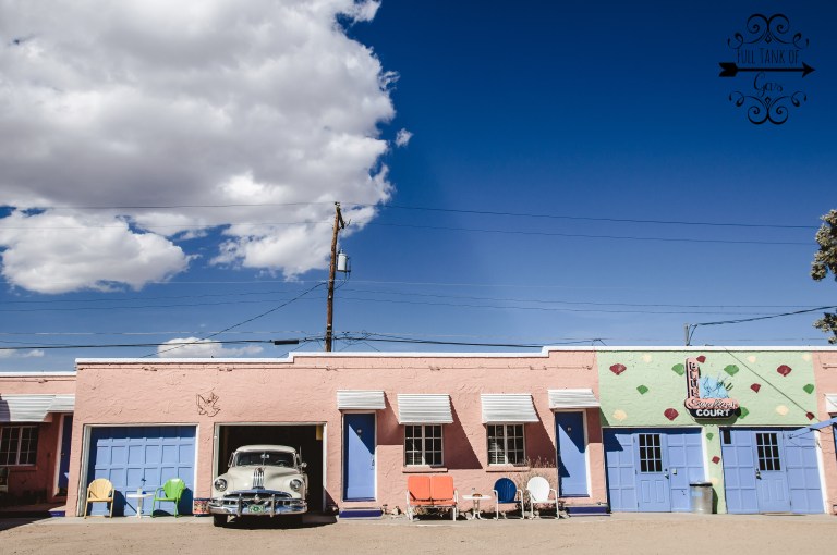
The famous Blue Swallow Hotel is set up like a museum. Unfortunately the gift shop was not open while we were there, so we just wandered around the property. Straight out of 1955. They do have rooms available to stay in, however it did not work into our itinerary. 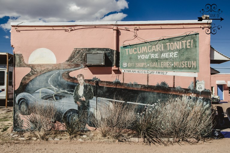


When we rolled out of town, I realized we were making time, and were able to stop at an additional town, Dilia, NM.

Dilia is a small farming town, on what used to be route 66 through Santa Fe. Route 66 moved in the 1920’s, bypassing Santa Fe, through Albuquerque. The small town now sits off of NM hwy 84.


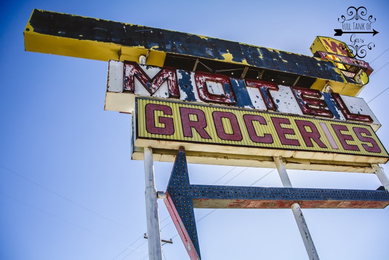
After leaving Dilia, we headed to Moriarty, where we stayed for the night at the Sunset Motel.


It literally looks like a motel off of a horror movie, Joy Ride comes to mind. But the room was actually really clean, the beds weren’t bad, and the staff was super friendly. I’d recommend it to a passer through. Unfortunately I forgot to take a digital photo of the neon sign, I only have it on polaroid, but it’s classic Route 66.
Day three : Moriarty to Flagstaff, AZ
THE WIND WAS OUT OF CONTROL. OUT OF CONTROL. I thought we were gonna die. Literally, just be blown off the road, or a semi topple over on us.

Driving down 66, which at this point was parallel to I-40, just out of Albuquerque, we came into San Fidel.


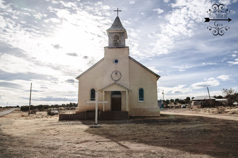
Across the road we spotted some adobe houses scattered up on a mesa, and what looked like a church. So, we got off on the next exit.


Santa Maria de Acoma Mission is located off old route 66 in McCartys and is surrounded by small adobe homes and ruins of the settlement long gone. McCartys was named after the railroad contractor who established his settlement here.
Leaving McCartys, this old section of the historic National Old Trails Highway pavement has been placed on the National Register of Historic Places. All along the journey you will see black masses of hardened lava on both sides of road. These great lava flows ranging from 50 to 200 feet wide, curve about the flat valley all along the route. This lava flow, called “The Malpais,” meaning “Evil Country,” is one of the most recent in U.S. history, occurring between 1,000 and 2,000 years ago. Navajo legend says that this lava is the blood of the great giant who was slain by the Twin War Gods in the Zuñi Mountains. Here in this area lies the remains of deserted pueblos, caves of perpetual ice, hideouts of Old West outlaws, and numerous tales of buried treasure.
Next stop : The Petrified Forest and Painted Desert…
-A
